The Astra Samui construction update, July 2026: the site from above
On 24 July 2026 the developer’s drone photographed the site of The Astra Samui in Bophut. They show a fenced, cleared and levelled plot beside the main road, a piling rig, sand heaps, site containers and one concrete slab with column bars standing out of it. This entry describes only what the photographs show.
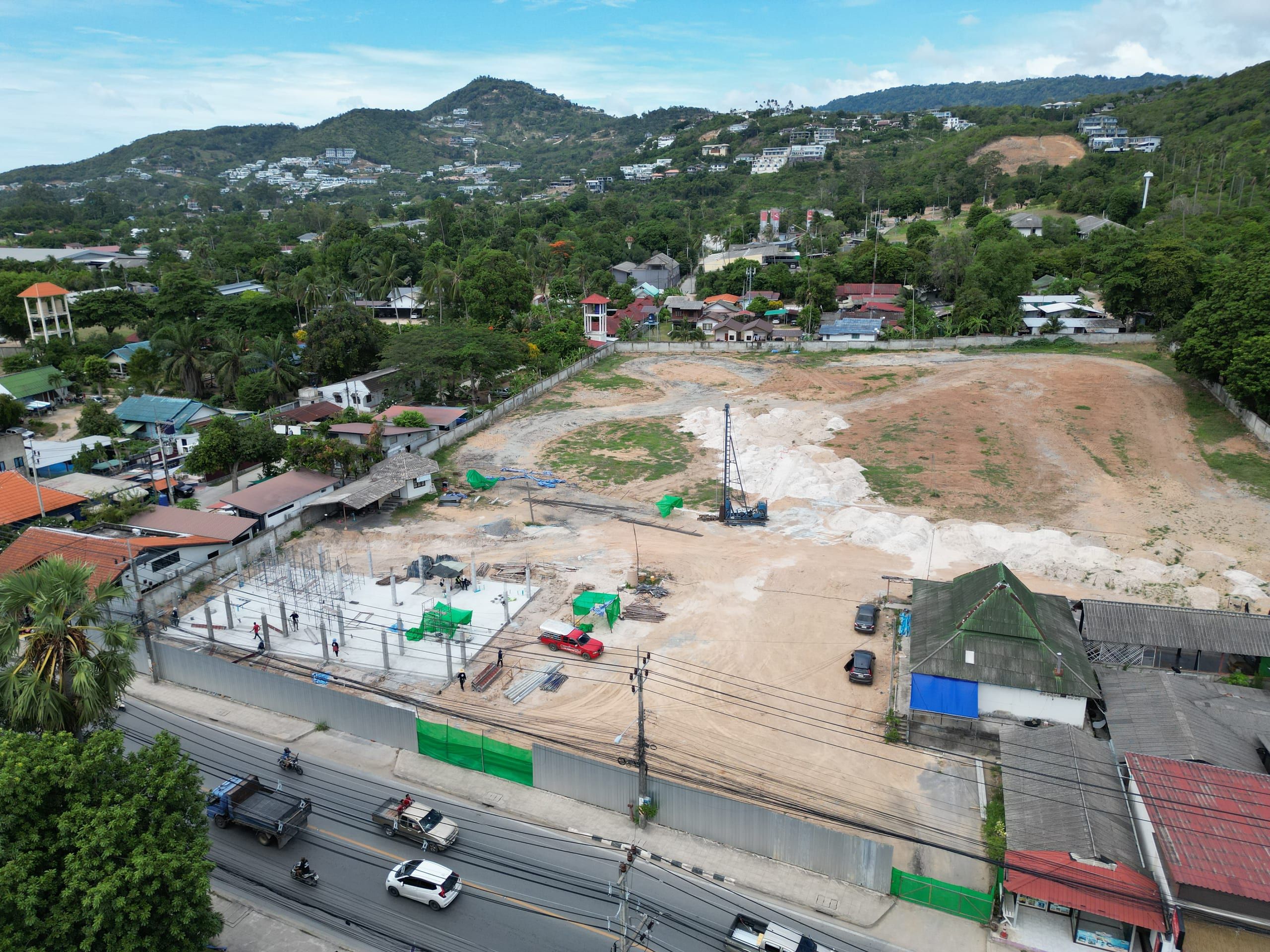
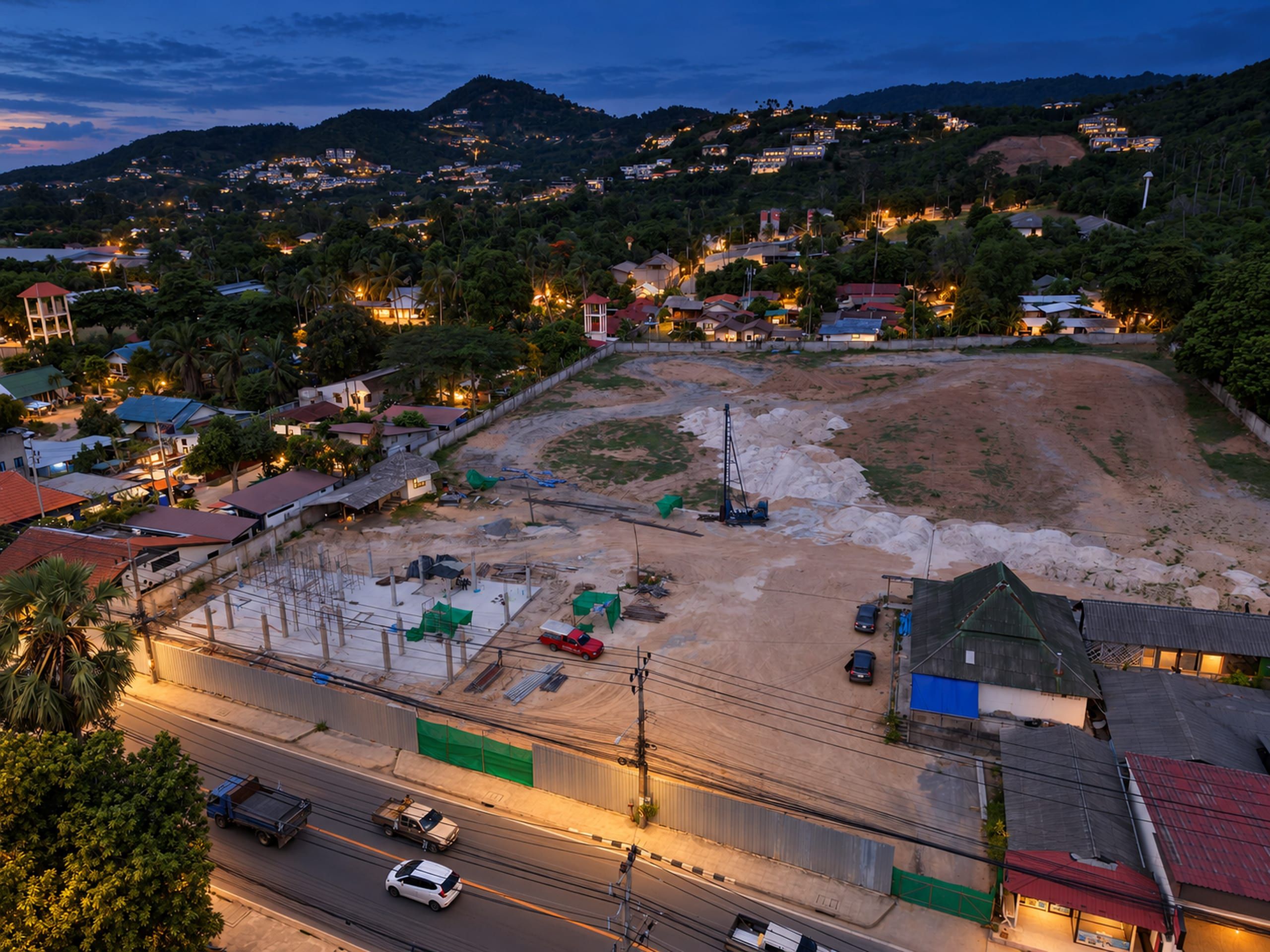
The drone photographs of 24 July 2026 show The Astra Samui at the very start of building: a fenced, cleared and levelled plot beside the main road in Bophut, a piling rig, heaps of sand, site containers, and one concrete slab with the bars for columns standing out of it. This is the first entry in our construction series, and it describes only what is visible in the pictures. The photographs come from the developer, and we have added nothing to them.
If you want the whole programme, read the construction timeline and completion date. This entry is one dated snapshot within it.
In short
- Date of the material: 24 July 2026, drone photographs from the developer.
- The plot is fenced, cleared and levelled, beside the main road.
- A piling rig stands on the plot.
- One concrete slab with column reinforcement is visible, in one corner of the plot.
- Sand heaps and site containers are on the plot.
- handover planned for December 2028.
- Sales start: 26 October 2026.
We do not state which building the slab belongs to, how many piles are in the ground or how far along the work is in percent. The photographs do not show those things.
The plot from the main road
The closest view of the site shows the plot behind a continuous metal hoarding along the road, with green screens and a gate. Traffic passes in front, and the hoarding hides most of the ground from people on the road. Inside, the earth is bare and levelled. One concrete slab sits near the road side of the plot, with column bars standing up from it and a few people working on it. A piling rig stands further in, with piles of earth and sand around it.
Seen from here, the plot is surrounded by houses and small buildings on the sides away from the road. Hillsides with villas rise behind it.
A cleared and levelled plot
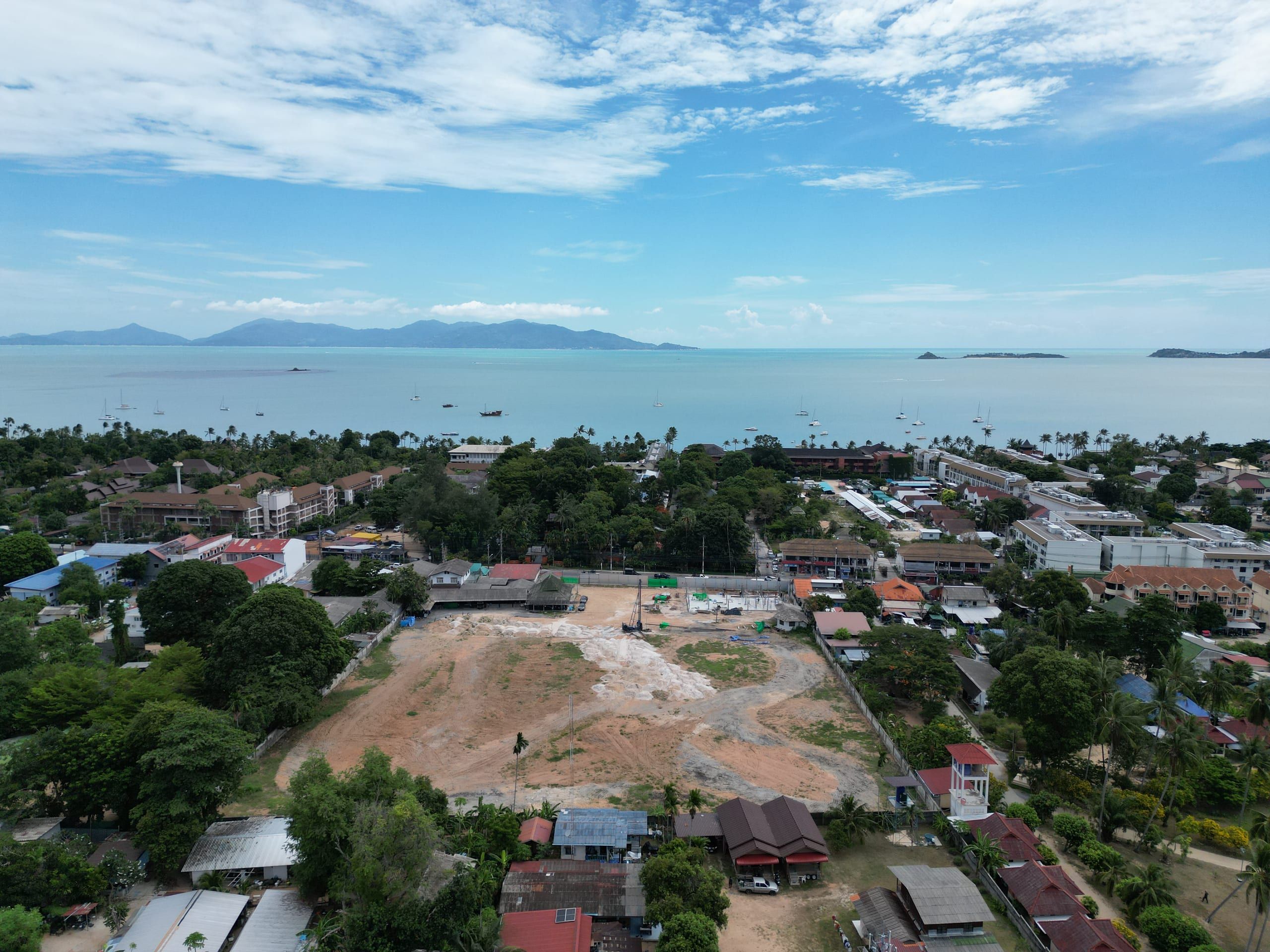
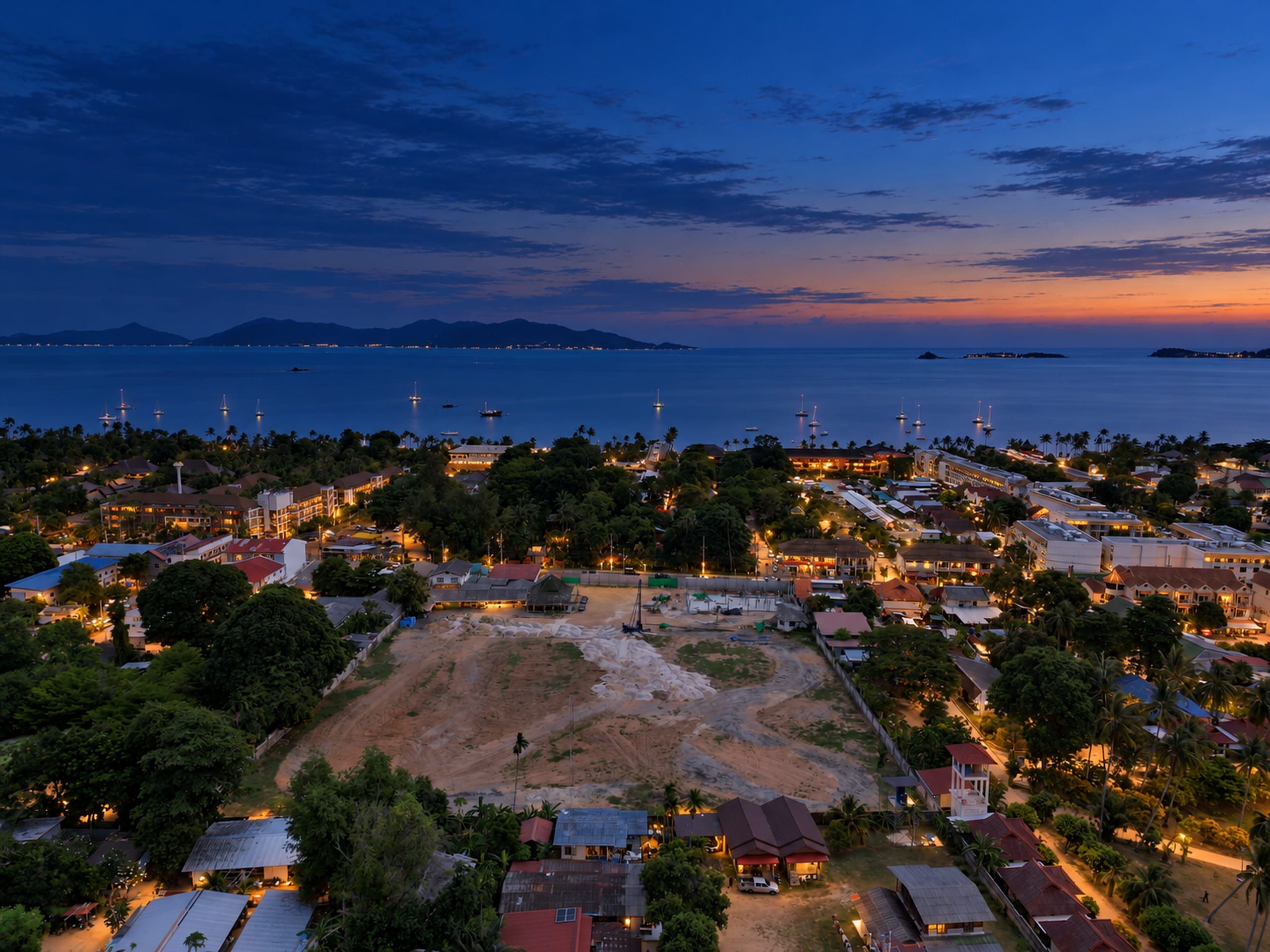
The wider view shows how large the cleared area is compared with its neighbours. The ground is bare, with patches of grass and tracks left by machines. A wall or fence runs around the edge, and low buildings, small houses and tall trees press up against it on every side. The road runs along the far side. The piling rig and the slab are both near the road edge, and the rest of the plot is open ground.
This is what the early groundwork stage looks like. Nothing on the open part of the plot is built yet, as far as the photograph shows. The developer gives the extent as follows: project area: about 17,600 m² (according to the developer). The slab visible here covers only a small part of that area.
The piling rig and the first slab
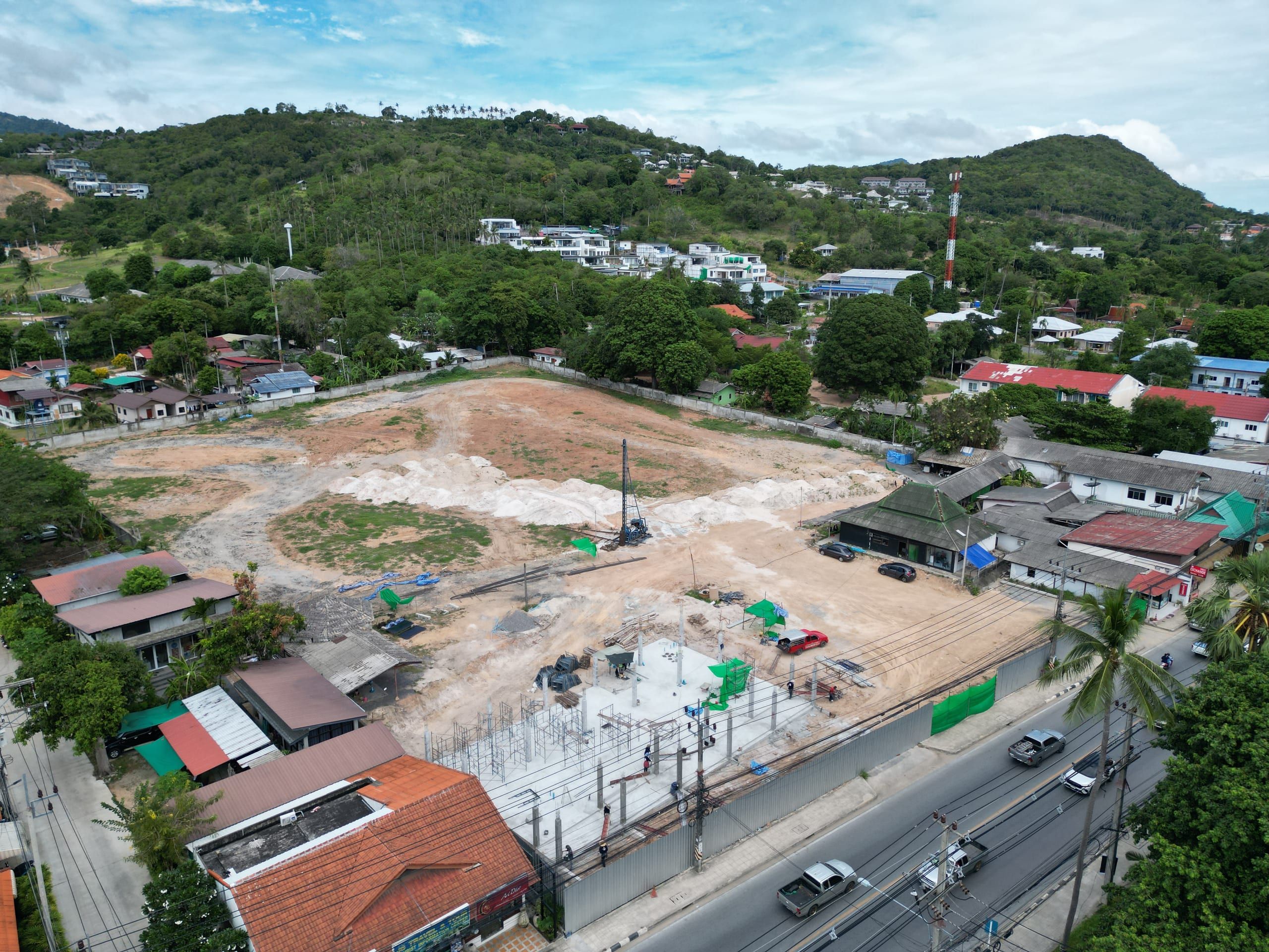
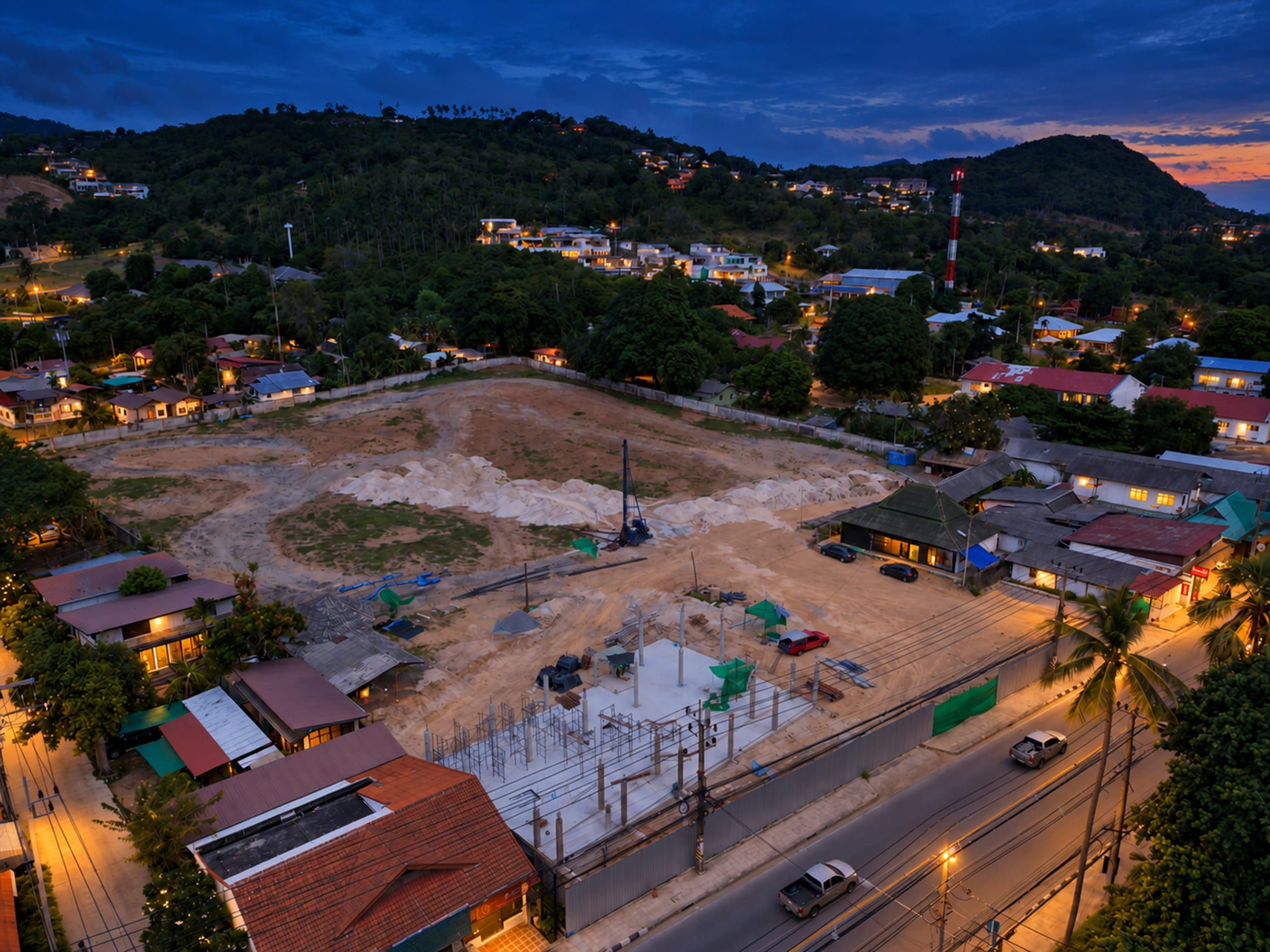
This view brings the slab and the rig into the same frame. The slab is a level grey-white concrete surface. Tall column bars stand out of it in rows, with lighter scaffolding and formwork around them, and workers are on and beside it. A piling rig stands to the left on the open ground, next to heaps of sand and earth. A red pickup truck, green screens and loose steel bars lie in the working area between them.
A piling rig is the machine that installs foundation piles. We can say it is on the plot. We cannot say, from a photograph, how many piles it has installed or where they are.
The site and the road, looking towards the hills
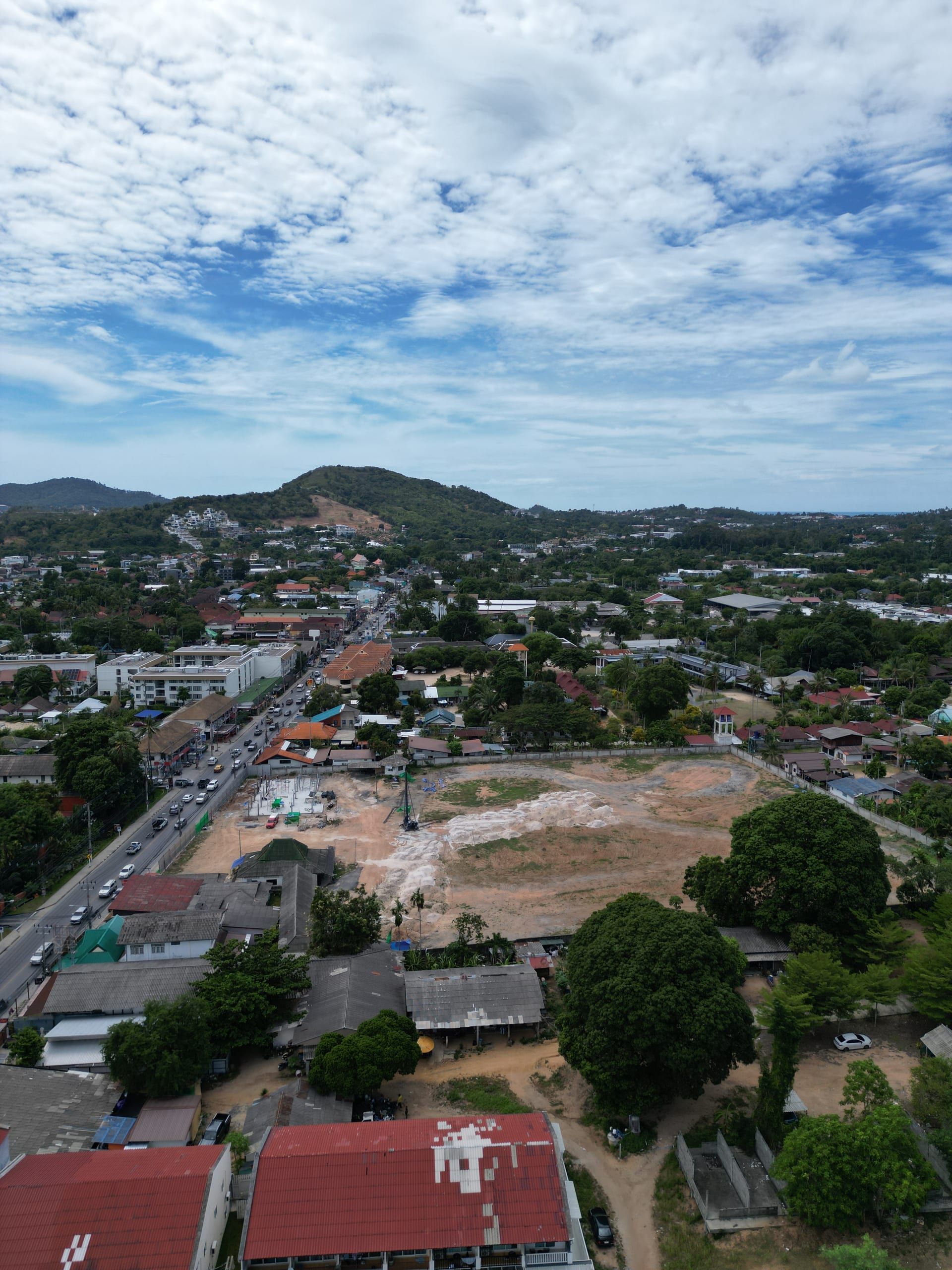
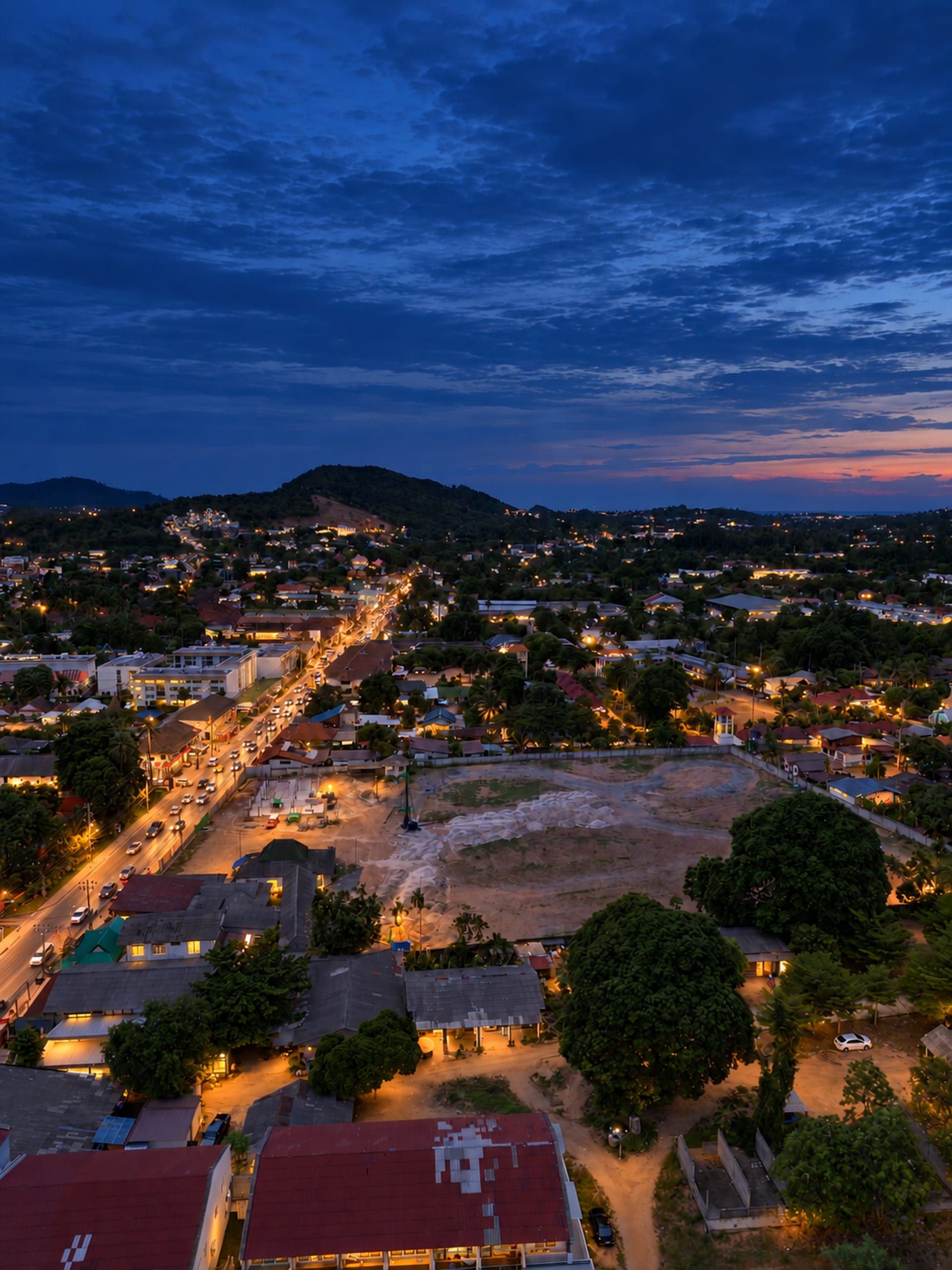
This portrait view looks along the main road with the plot on its side. Traffic fills the road, and shops and low buildings line it. The slab and the rig are at the road end of the plot, and the open ground stretches behind them. In the background a wooded hill rises above the roofs, with white buildings on its slope.
For a buyer, the picture is a reminder of the setting. The plot is on a working road, among shops and houses, and not on a remote beach. How that suits you is a question for our location page.
The surroundings
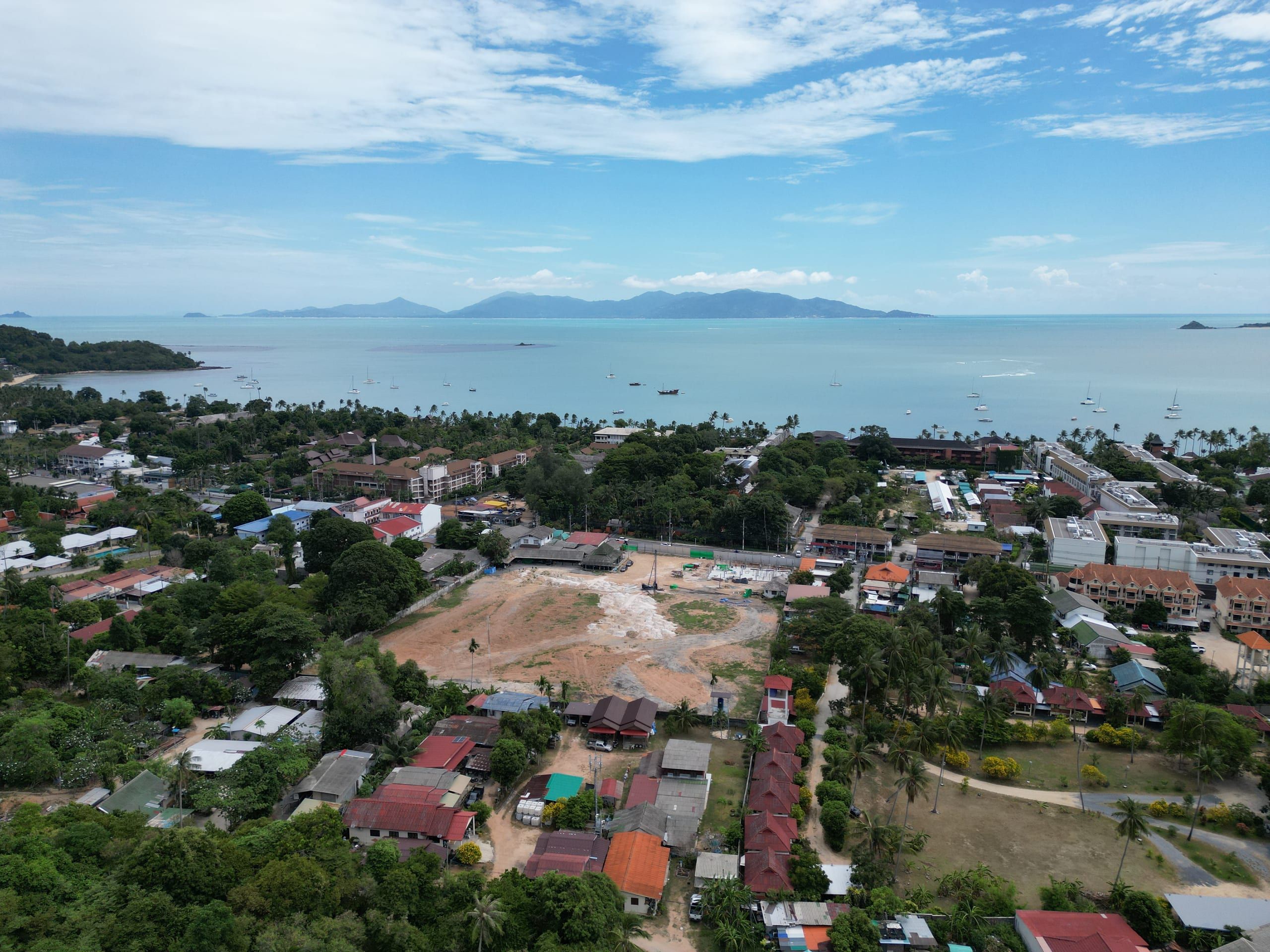
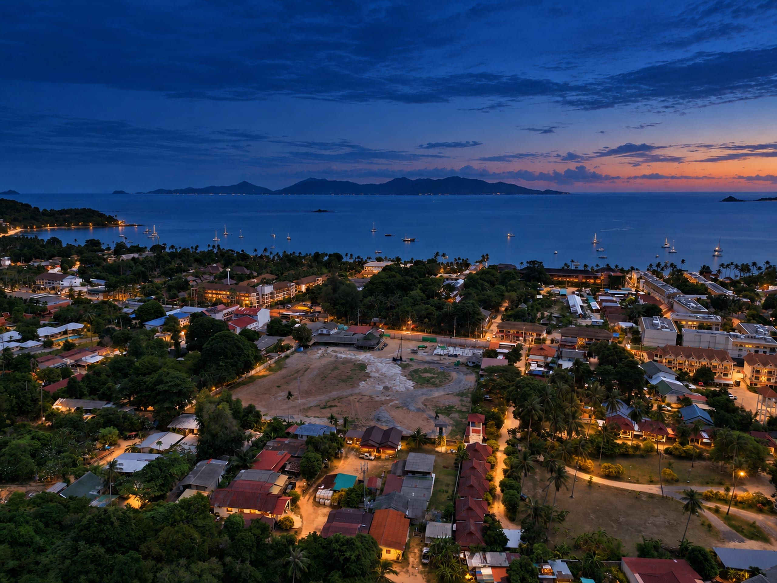
The wide aerial view shows the neighbourhood. Low buildings with red and orange roofs and green trees surround the plot. Palms and trees fill the strip between the plot and the shore, and beyond them is a bay with sailing boats at anchor. Islands show on the horizon. On the other side of the plot, wooded hills rise.
This is the setting of the project: a low-rise neighbourhood between a bay and green hills, in Bophut on Koh Samui. For the area itself, see our guide to living in Bophut and the Bophut location page.
What the photographs do not tell us
Photographs from one day leave many questions open, and it is better to list them than to fill the gaps with guesses.
- Which of the three buildings the slab belongs to.
- How many piles have been installed, and how deep they are.
- How the work compares with the developer’s programme in percent.
- What permits the developer holds, which a photograph cannot show.
- Whether work continued at the same pace after 24 July 2026.
If any of these matters to your decision, put the question to your sales adviser and ask for the answer in writing, with a date.
How we read drone photographs
We use a short set of rules, so that you can check our descriptions against the images.
- We describe only what is visible. If something cannot be seen, we say we do not know.
- We give the date of the photograph, not the date of publication. The date comes from the developer.
- We do not count what we cannot count. A rig is a rig. A pile count needs a site report.
- We do not name the building. Nothing in the photographs identifies which of the three buildings, A, B or C, the slab belongs to, so we do not say.
- We do not give a percentage. A photograph shows a surface, not what is inside a slab.
- We compare like with like. Later entries will use the same dated, labelled material wherever the developer provides it.
A photograph also cannot show quality. For that, an independent inspection is the right tool, and our timeline guide explains when to ask for one.
What comes next
According to the developer, these are the next published milestones.
- Environmental approval (EIA) is expected in February 2027. The sale and purchase agreement is signed once it is granted.
- Payments: 30% by 20 December 2026, 30% when the roof structure is complete (planned for February 2028), 40% at handover (planned for December 2028). The developer does not offer financing.
- roof structure complete: planned for February 2028
- handover planned for December 2028
Between the first slab and the roof come piling, foundations and the structure. We describe each in the construction timeline, with what you do at every stage. A target date is not a guarantee.
If you are choosing an apartment now, the apartments page shows the types and the how to buy page shows the steps. For indicative launch prices, see the prices page.
Photograph by photograph: what to look for
If you want to check our description yourself, here is a short way to read each image.
In the closest view of the road side, look first at the hoarding. It runs the whole length of the frontage and has a gate, and it tells you the plot is closed to the public. Then look at the slab: find the rows of bars standing up from it and the people at work around it. Last, find the rig behind it, and the heaps of earth and sand.
In the wide view, look at the boundary. Follow the wall around the plot and notice how close the neighbouring houses are. Then find the rig and the slab at the road edge and see how much open ground lies beyond them.
In the closer view of the slab, look at the lighter framework around the bars. That is temporary support used while the work is built, and it will not stay. Look at the materials lying on the ground, such as loose steel bars. They show that work is under way and materials are being delivered.
In the portrait view, follow the road to the hill. It shows how the plot sits between a busy road and wooded slopes, which matters for noise, access and views.
In the wide aerial view, look at the colours and the density of the neighbourhood: red and orange roofs, green trees, the bay behind. It is the best picture of the setting, but it shows the plot at some distance, so the works are small in the frame.
What a slab with column bars means
A slab with column bars standing out of it is a normal sign that a concrete frame is being prepared. The bars are the reinforcement of columns that will be cast above the slab. Whether this slab will carry a building, a smaller structure or an access area, the photographs do not say. We do not guess, and we do not read more into it than the picture allows.
The sequence on a plot like this is described in the construction timeline: ground preparation, piling, foundations, then the structure. A slab and a rig on the same day tell us that more than one type of work was happening at once, which is common on a large plot.
Why a dated site diary helps a buyer
When you buy off plan, you pay in stages for something you cannot yet walk through. A dated series of photographs gives you a record you can compare with the programme: what was on the plot in July 2026, what was there a few months later, and how that fits the milestones. It does not replace an inspection, and it does not make the dates firmer. It does make the conversation with your adviser concrete.
It also protects against vague claims. If anyone tells you that the building is “well advanced”, you can look at the dated pictures and ask for the same kind of evidence.
When the next update appears
We add a new entry when the developer sends new drone photographs or reports. There is no fixed calendar, so an update can follow within weeks or after a quiet period. Each new entry gets its own page and a title with the month, and it is linked from the timeline. If you want the latest material sooner, ask your sales adviser or book a call.
Questions and answers
What stage is The Astra Samui construction at?
The photographs taken on 24 July 2026 show early site works: a fenced, cleared and levelled plot, a piling rig and one concrete slab with column reinforcement. We do not state a percentage of completion, because the photographs cannot show one and the developer has not published one.
Where do these photographs come from?
They are drone photographs supplied by the developer, taken on 24 July 2026. We publish them with a plain description of what is visible. We do not add measurements, building numbers or counts that the images do not show.
Which building is under construction?
We cannot tell from the photographs, and we do not guess. The project has three buildings, A, B and C. When the developer confirms which building a slab belongs to, we will say so in a later update.
How often is the construction update published?
We add an entry when the developer sends new drone photographs or reports, so there is no fixed schedule. Each entry carries the date of the material, not the date we published it, and links to the construction timeline.
What happens next on site?
According to the developer, the roof structure is planned for February 2028 and handover for December 2028. Between now and then comes the work described in our construction timeline, from foundations to the structure. Dates are targets, not guarantees.
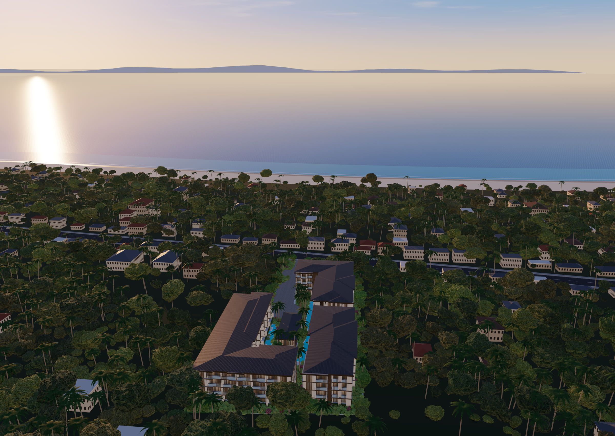
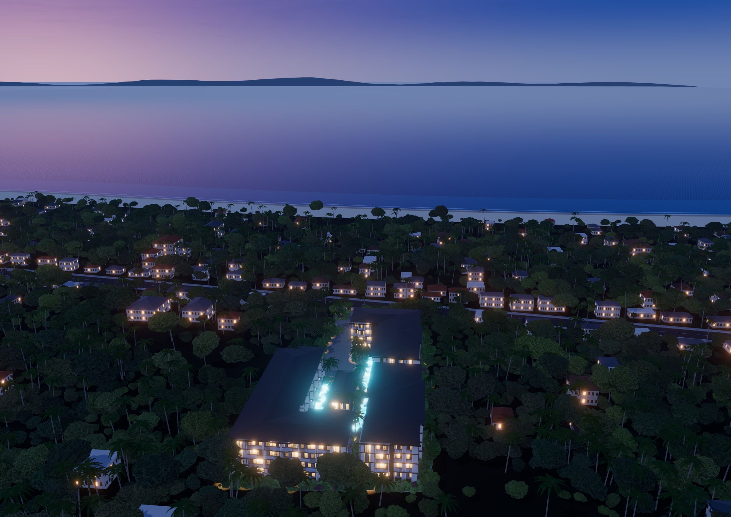
Choose your apartment in 3D
Open the 3D model of the development, pick a building and a floor, and see where each apartment sits and which way it faces.